Get in touch
Screenshot of the Satalize Intake Water Index: a map of Israel's coast colored from blue (low) to red (high), with the daily threat level of each desalination plant intake Intake Water Index — daily seawater threat level
satalize

Ocean & coastal intelligence

From satellite data to decisions at sea

Satalize turns satellite observation, in-water sensing and AI analytics into daily, site-specific answers for the people who run the coast: desalination plants, ports, offshore operators, power stations and environmental agencies.

Scroll to explore
About us

Remote-sensing science meets maritime experience

Who we are

An early-stage deep-tech company from Haifa, Israel. We combine remote-sensing science (University of Haifa) with maritime industry experience, starting on the Israeli coast and building for any coast where water, energy and shipping meet.

What we combine

  • Satellites: optical and radar, with years of archive
  • In-water data to calibrate and validate
  • AI models that turn detections into alerts

How we deliver

  • Monitoring of a defined area, with alerts
  • Analysis projects and retrospectives
  • Incident reports with time-stamped evidence
Product lines

Three ways Satalize turns satellite data into decisions

Answers per site, in the operator's language, not raw maps.

Map of Israel's coast coloured from blue (low) to red (high), with the daily threat level at each desalination plant intake
Intake Water Index: daily threat level at each intake
Water quality & desalination

See the sea before it reaches your intake

A daily satellite watch on algae and turbidity at every seawater intake.

  • Daily index for Israel's seawater desalination intakes
  • Chlorophyll-a, turbidity, plumes and temperature at intakes and outfalls
  • Early warnings, bloom retrospectives, site and baseline studies

August 2026 bloom: several plants shut down. In our record the rise was visible before the shutdowns.

Satalize vessel monitor: a map of marine reserve areas off the Israeli coast, with vessel density and the vessels detected in one satellite image
Vessel monitor: detections in Israeli marine reserve areas
Human activity at sea

Know what is normal at sea, and when it changes

Vessel activity from satellites alone. No AIS needed, so dark vessels count too.

  • Radar detects vessels on each pass, day or night, through cloud
  • A seasonal baseline, then alerts on build-ups, loitering and newcomers
  • Night-time lights of fishing fleets and coastal light pollution

For marine reserves, fisheries enforcement, offshore energy and port authorities.

Demo on request Request a demo
Map of satellite oil-spill alerts, shown as coloured dots across the seas around Italy
EMSA CleanSeaNet satellite oil alerts (public data)
Oil pollution management

Send the plane to the slick that is real

AI triage of satellite oil-spill alerts: respond where oil is most likely and most harmful.

  • Probability of mineral oil, times severity (coast, reserves, infrastructure)
  • Send, review or monitor, with the reasons behind each score
  • Hotspot maps, drift toward the shore and incident reports

Tested on 2025 data the model had never seen: the highest-ranked alerts caught most of the confirmed spills, with far more oil found per dispatch.

Model built and tested on European data
Why Satalize

Clear answers, an independent record, honest limits

Answers per site

In the operator's language, not raw maps.

Independent record

Early signal before events, evidence after them.

Honest about limits

Cloud, near-shore pixels and what satellites cannot measure are part of every report.

Who We Serve

Built for the organizations that manage our coasts and waters

  • Ministry of Environmental Protection
  • Ports
  • Offshore Operators
  • Industrial Operators
  • Desalination Plants
  • Power Stations
  • Municipalities
  • NGOs
  • Insurers
Team

A multidisciplinary team behind Satalize

We bring hands-on experience in marine operations, environmental monitoring, and data-driven product development — spanning remote sensing, AI engineering, and commercial maritime projects.

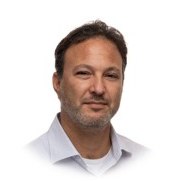
Portrait of Adi Ronen

Adi Ronen

Co-Founder, CEO

Leads Satalize's strategy and operations, connecting maritime, environmental, and technology stakeholders.

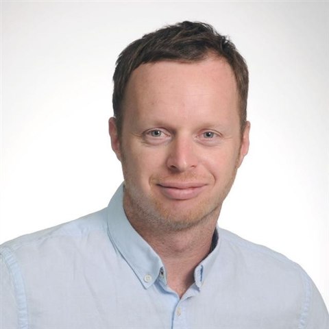
Portrait of Semion Polinov, PhD

Semion Polinov, PhD

Co-Founder & Chief Scientist

Drives the remote sensing and AI science behind Satalize, turning satellite data into operational insight.

Contact

Let's work together

Tell us about your site, sea area or project. We start with a conversation.

Location Haifa District, Israel

Get in touch

  • Operators and agenciesA one-season pilot on your site or sea area, reviewed jointly at the end.
  • Research and data partnersIn-water data, satellite access and joint EU and ESA projects.
  • FundersGrants and investment to take the first pilots into operation.
Email us